-40%
GOLD and tungsten mines, Tulare County, Calif, RARE vintage 1st ed, BIG MAP! VG+
$ 56.9
- Description
- Size Guide
Description
Rare 1958 1st ed. shows 65 goldmines in Tulare County, California
Also has maps and photos and locations of 92 RICH
tungsten deposits, plus uranium and silver mines!
Has BIG separate map in rear-cover pocket
Tiny detail from BIG separate map in rear-cover pocket shows gold mines near Bald Mountain and White river, numbered 27 and 28.
T
his 56-year-old rare first-edition report lists
every known mine
in 1958 Tulare County, California — including 65 gold mines and 92 RICH tungsten deposits
Haulage adit to the glory hole and open pit, Consolidated Mine, Drum Valley.
Even though Tulare County isn't known for rich gold and silver deposits (unlike neighboring Inyo County), it has plenty — as this hard-to-find report shows.
Just goes to show you that just about every inch of California has some pay dirt. And these Tulare deposits are not pennyante: .4 MILLION BUCKS since 1880, in prices adjusted for today's gold prices. That's nothing to shake a gold pan at.
And many of these little-known deposits have sat dormant for decades, just waiting for someone to come along and reopen them. Doesn't take much gold to make a mine pay these days, unlike mid-century when gold prices were in the pits at 30 bucks or so.
But let's face it: The best-known gold mines in California have been picked clean for years. BUT this report lists the well-known locales
+AND+
the unknown locales — every single gold deposit in the county: big and little, famous and forgotten. And if you're doing some metal detecting, don't forget those rich tungsten mines. Plenty of loot just waiting for your metal detector.
No fences and no guards
Much of this area is accessible and completely deserted. You can go anywhere you want at these sites and pretty much do whatever you want, when you want, as long as it's legal.
There are no guards, fences, barking dogs or no trespassing signs. Much of this area is miles away from any town of any size and is on federal Bureau of Land Management or National Forest Service lands and is open to prospecting and mineral collecting.
Tiny detail from book diagram showing underground workings at the Tyler Creek Tungsten Mine, owned by the National Tungsten Corporation.
First edition in nice shape
This is not a reprint, but a first edition, in REALLY nice shape. It looks practically brand new except for some fading on the spine and the usual owner's name on the cover, o
ne of the best copies that I have seen of this rare title. So buy it now or forever hold your peace. Once it's gone, it's gone.
Lists mines and placers in several ways
One of the real values of this report is that it lists mines in two ways:
First, it alphabetically summarizes the more important or interesting mines and prospects in the county. These descriptions can run from a few lines to several pages, depending on the importance of the mine.
Second, it also alphabetically lists in table form
every known
gold and tungsten mine in the county. Each entry in this huge table — which runs for many pages —
includes the exact location in
infallible range-and-township coordinates
! Just plug them into your GPS or look them up on the appropriate topo, and you're there.
More mines on the BIG separate map from the report's rear pocket: Number 25 is the Barton Gold Mine, north of Elderwood.
Gold mines described
Here are just a few of the gold mines listed in the table:
Bald Mountain mine
, 1.5 miles southeast of White River — about 2700 feet of underground workings, original eight claims on a quartz vein striking east.
Bob Allen mine (General Grant)
, on Slate Mountain, 5 miles southeast of White River — an 18-inch vein dipping 60 degrees north, includes 80-foot tunnel.
Eclipse Number Two mine
, 2.5 miles southwest of White river, at 1200-1750 feet elevation — four patented claims and millsite on two parallel veins striking north 70 degrees east, dipping 60 degrees north in granite and mica schist.
Gray Eagle mine
, in Redwood Canyon, exact range and township coordinates given, 6 miles east of Badger, in the Tehipite quadrangle at about 2800 feet — a 4.5-foot zone of epidote-garnet rock in sheared slate contains gold, galena and chalcopyrite.
Last Chance (Redfield) mine
, two miles west of the White River at 1100 feet — a four-foot vein striking east in granite containing FREE gold and pyrite, with levels at 100, 200 and 300 feet
.
Vulture mine
, in the Kernville quadrangle, below Rattlesnake Creek, atributary of the Kern River — two undeveloped claims.
And many more mines, large and small, active and abandoned, famous and forgotten
.
Treasure trove of information
How can you look for "color" in Tulare County mine dumps or streams if you don't know where the best dumps or streams are? Why waste weekends randomly digging through tailing piles for specimens? This book will lead you to the most likely areas to hit pay dirt!
It's also a treasure trove of information for history buffs, bottle collectors, photographers, geologists, hikers, offroaders, rockhounds, metal detectorists — just about anyone interested in learning about, exploring or prospecting old mine sites in historic Placer County.
This is not some gift-shop rockhound book; it was prepared by the California Division of Mines — written about miners for miners by miners.
When I say that this report is rare, I don't use that term lightly. I have seen a handful of these in 22 years of looking for California mining items. No collection of Tulare County or California mining memorabilia is complete without this hard-to-find report — packed with geologic information, ore value, mine-production stats, history, even claim holders' names and addresses.
Also a valuable tool for stock certificate collectors
Because this report lists mine owners and different names for the same mine, it is also a valuable tool for collectors of stock certificates.
Some mine descriptions contain brief histories of the mines in question (including dates of actual production) and previous owners.
Where is it?
Tulare County — in "mid" California — is bounded on the west by Kings County in the san Joaquin Valley, on the north by Fresno County, on the south by Kern County and on the east by Inyo County. The eastern boundary lies along the crest of the Sierra Nevada and passes through a chain of the highest peaks in the continental U.S.
The Book:
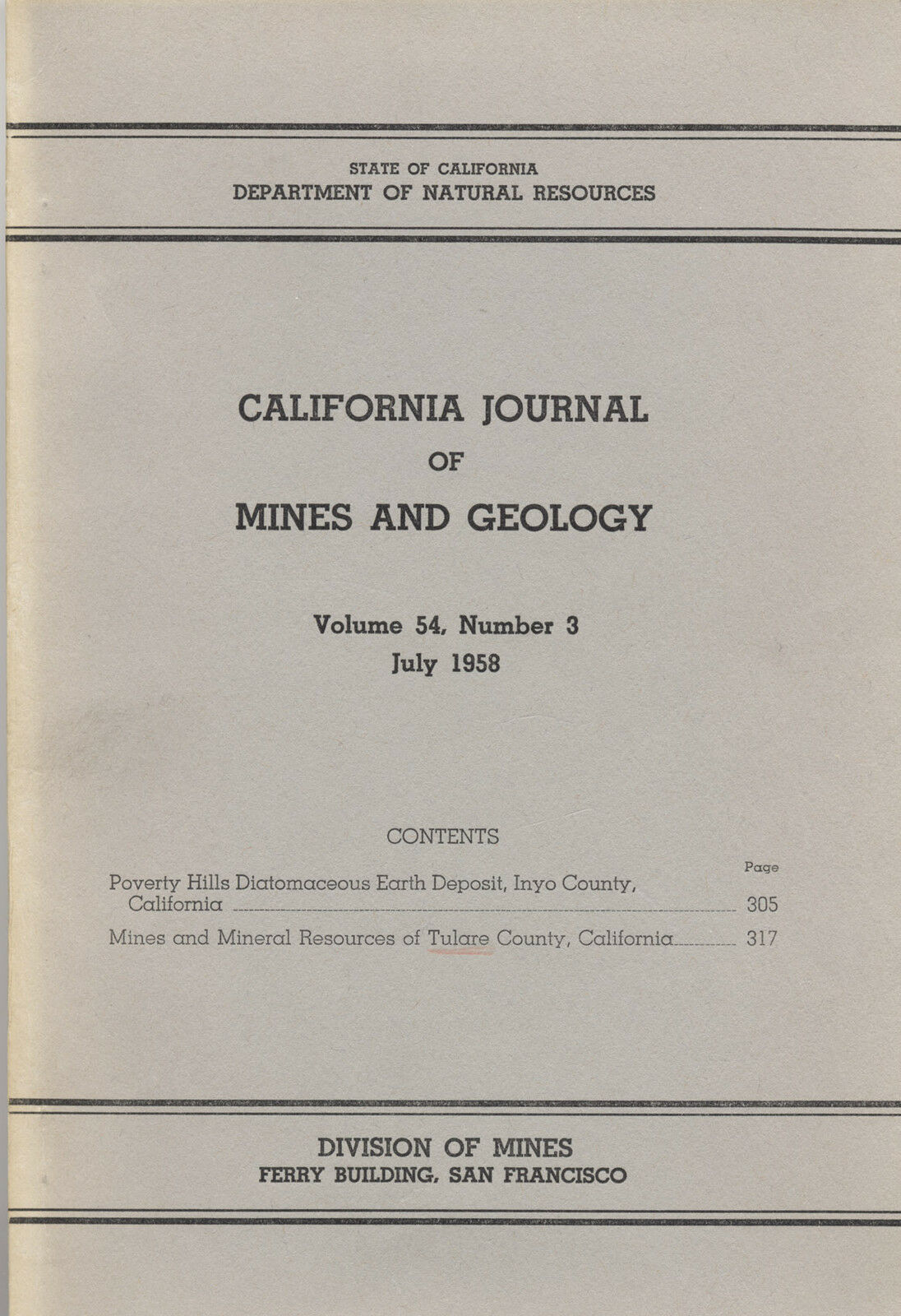
The Tulare County gold and tungsten mines article is part of a larger book,
California
Journal of Mines and Geology,
(cover, below right), Vol. 54, No. 3, July 1958, State of California, Dept. of Natural Resources, Division of Mines, San Francisco, size: six by nine inches, stiff paper covers, about 187 pages total, about 175 pages in the Tulare article: "Mines and Mineral Resources of Tulare County, California," by J. Grant Goodwin
.
Overall in VERY nice shape. Binding is tight. Slightly bumped corners. Spine is sunned; owner's name on cover. Otherwise everything is near fine. All in all, one of the best copies that I have seen of this rare report. Pages are supple and not at all brittle.
As always, I am
extremely
conservative about rating book condition and very detailed in listing any potential flaw, no matter how slight. You get what you pay for. If you want a trashed book, filled with ripped pages, that the seller just "somehow forgot" to tell you about in his ad, then look elsewhere on ebay.
Payment methods and domestic shipping
Paypal only. FREE shipping. WOW!!! Hoo hah! I pride myself on bulletproof packaging and ship in sturdy cardboard boxes or reinforced padded envelopes.
The fine print:
Feel free to e-mail me if you have any questions about the item or terms of sale.
I post feedback once a week. Not responsible for typographical errors.
Good luck and thanks for looking!
Mill of the National Tungsten Corp. in Tyler Creek.
Nearby counties
Nearby counties include: Riverside, Orange, Los Angeles, Santa Barbara, Kings, Madera, Mariposa, Mono, Tuolumne and Alpine.
Towns, population areas and interesting sites in or near Tulare County include:
Dinuba, Exeter, Farmersville, Lindsay, Porterville, Tulare, Visalia, Woodlake, Allensworth, Alpaugh, California Hot Springs, Camp Nelson, Cedar Slope, Cutler, Delft Colony, Ducor, Earlimart, East Orosi, East Porterville, East Tulare Villa, El Rancho, Goshen, Hartland, Idlewild, Ivanhoe, Kennedy, Meadows, Lemon Cove, Lindcove, Linnell Camp, London, Matheny, McClenney, Tract, Monson, Orosi, Panorama Heights, Patterson Tract, Pierpoint, Pine Flat, Pixley, Plainview, Ponderosa, Poplar-Cotton Center, Posey, Poso Park, Richgrove, Rodriguez Camp, Sequoia Crest, Seville, Silver City, Springville, Strathmore, Sugarloaf Mountain Park, Sugarloaf Saw Mill, Sugarloaf Village, Sultana, Terra Bella, Teviston, Three Rivers, Tipton, Tonyville, Tooleville, Traver, Waukena, West Goshen, Wilsonia, Woodville, Yettem, Advance, Angiola, Badger, Balance Rock, Cairns Corner, Calgro, Johnsondale, Kaweah, Rocky Hill, White River, Yokohl Ranch, California, Yokohl Valley, Zante and the Tule River Indian Reservation.
